Thursday, February 7, 2013

2012 California Road Trip

Part VI Old Route 66

Leaving the central California coastline we headed south and east to Bakersfield, CA  where we spent the night at a nicely furnished Holiday Inn Express.   The following morning we headed east through some beautiful wine country and the sierra mountains.  We drove through part of the Mojave desert and connected to old highway 66 in Kingman Arizona.  We followed 66 and Highway 40 to Gallup NM. 
We stayed overnight at this Holiday Inn Express in Bakersfield, CA. 

It is amazing to a Colorado boy how much green and how many flowers are available in late November in central California.

We next drove through the Sierra mountains and through the lower reaches of the Mohave Desert.  Again we had great weather on this stretch of the trip.

This was our first stop on the Route 66.  It looked as though it was mainly used as a trailer park currently. 

I think this photo really sums up the spirit of old Route 66.  This is the kind of stops I remember from trips my brother and I made back in the late 50's.

This old Chevy looks like it could have been around since the 60's.

The two arrows stop was closed and this is what remains.

The old Wigwam Motel was a highlight on old Route 66.  It is still open and has space for rent.  We were short on time or we would had loved to stay there.  The next few shots give a real feel for the place.  There were old (mostly 50's) cars parked by each wigwam.

A rusted out Hudson with a few teepees in the back ground.

Here is Kathleen in front of one of the teepee rooms.

Another shot of the teepee's with old cars in front

The El Rancho Hotel in Gallup is a famous landmark going back to the 1950's when a lot of movie stars stopped here.

The hotel is in remarkable shape (I suspect it has been restored).  Kathleen and I had a very nice lunch there before continuing our journey.

From Gallup we headed north through Indian country to Shiprock, NM, then on to Durango, CO.  It was too dark to get any photos on this stretch of the trip.  We left Durango the next morning after breakfast and headed over Wolf Creek Pass and the last leg of our journey back to Denver.  Wolf Creek pass is noted for very heavy snow pack, 8-10 ft of snow not unusual this time of year.  But as the photo below shows this year in late November there is virtually no snow.  This is very unusual, but made the last part of a long trip much less stressful then expected.  You might call that an unexpected pleasure ;O)>.

This wraps up a tell of 2 travelers on a great road trip, eleven days and 3300 miles.  The photos here only give a hint of the scenes and places visited.  We hope you enjoyed sharing our journey.  Thanks for looking.

Wednesday, February 6, 2013


2012 California Road Trip

Part V On Scenic Highway 1

After leaving the very beautiful Morro Bay, we headed north up the Central California coast on scenic highway 1.  This stretch of road features great seascapes with rock in the sea and on the beach,  rocky cliffs and nice ocean vistas.  Just north of San Simeon there is an elephant seal colony.  These guys are great to watch as they lounge in the sand. 

The next few shots are along the coast between Morro Bay and San Simeon.

Kathleen on a overlook enjoying a great beach and beautiful sunny day.
 Drift wood on a nice stretch of beach.
 Lots of rocky beaches as you drive north.

Elephant Seal Colony

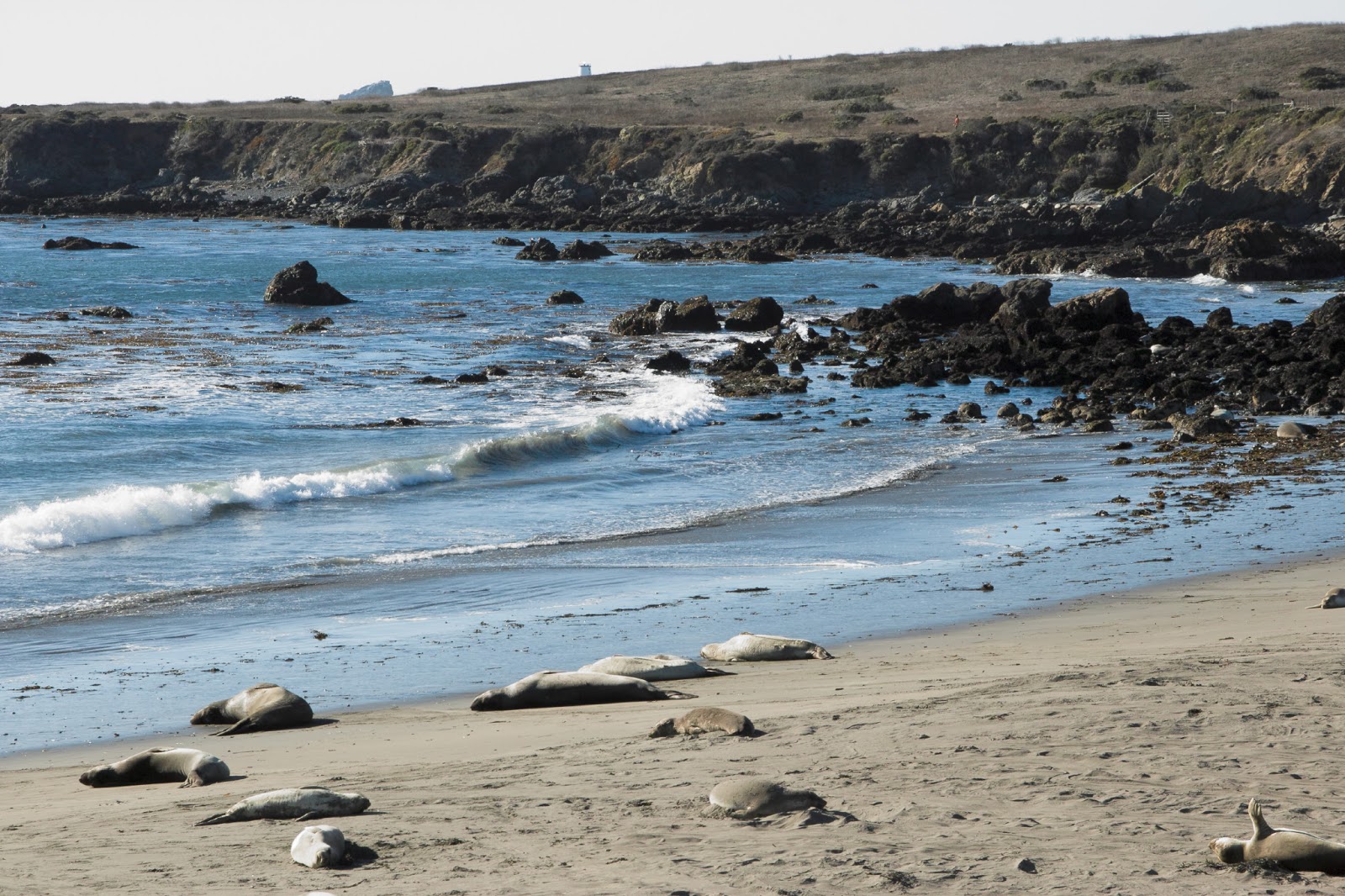
About 2 miles north of San Simeon is nesting area for the elephant seals.  They come here in large numbers between November and March each year.  The bulls have fight of the females, they mate and have calves.  They head back out to sea around March or April and return again in November.

The first 2 photos show a few of the seals lounging on the beach.

 This is an elephant seal pup sun bathing.
 This seal, it seems, is just enjoying the warm sun
 I think this guy was sleeping and enjoying the sun.

We left the seals and drove north toward Big Sur.  We passed great rocky beaches and a nice light house.

 Another nice beach.  There is great access to the beaches before you start climbing to higher elevations and away from the shoreline.
There are beautiful views as drive toward Big Sur.  The mountains drop right down to the shoreline and it is a very impressive vista.


From here we headed across the Mojave Desert  to drive on old Highway 66 in Arizona and New Mexico.

2012 California Road Trip

Part IV Morro Bay and Central California Beaches


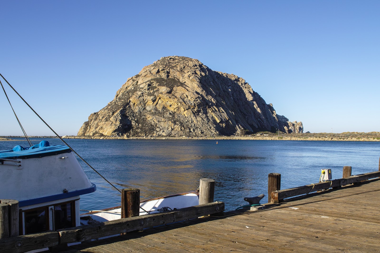
Morro Bay is a beautiful town situated on the central California coast with a nice marina.  The prominent feature of the bay is the large rock in the middle of the bay called Morro Rock.  We spent most of a morning exploring and photographing around Morro Bay and had late breakfast or early lunch at a restaurant on the marina overlooking the bay.
We drove out to Morro Rock in the morning and were greeted with nice surf and sunny skies.

The view from the base of the Rock looking north
the ocean waves pound the rocks at the base of the Rock.
This surfer is enjoying the mild surf, although it is a little windy.
A view of the rock from the marina.

Main street in Morro Bay

A hungry brown pelican waiting for the fish market to open.
The fish market from the marina side.
 A couple of boats moored at the the marina.
That is Larry grabbing a photo of the Morro Rock and the bay.
Here is the photo he captured
Kathleen on the dock with the Morro Rock in the background.
Kathleen liked the texture and pattern in this eucalyptus tree bark.
Kathleen also liked the color contrast in the foliage capture.
This is the beach on the north side of Morro Bay.
From Morro Bay we headed north on scenic Highway 1 heading toward San Simeon and Big Sur.

Wednesday, January 30, 2013

2012 California Road Trip 

Part 111

 Santa Barbara Mission and Dunes Oceano 

After 3 days in Los Angeles visiting family and friends for the Thanksgiving holiday, we headed north toward Morro Bay and the Central California coast below Big Sur.  Our first stop was at the mission at Santa Barbara.

Mission Santa Barbara, also known as Santa Barbara Mission, is a Spanish mission founded by the Franciscan order near present-day Santa Barbara, California. It was founded by Padre Fermín Lasuén on December 4, 1786, the feast day of Saint Barbara, as the tenth mission for the religious conversion of the indigenous local Chumash—Barbareño tribe of Native American people. The mission is the namesake of the city of Santa Barbara as well as Santa Barbara County.

The Mission grounds occupy a rise between the Pacific Ocean and the Santa Ynez Mountains, and were consecrated by Father Fermín Lasuén, who had taken over the presidency of the California mission chain upon the death of Father Presidente Junípero Serra. Mission Santa Barbara is the only mission to remain under the leadership of the Franciscan Friars since its founding, and today is a parish church of the Archdiocese of Los Angeles.


We arrived at the mission in the early afternoon and explored the external grounds.  The building in magnificent and has a lot of trees and plants in green colors even in November.  Having lived in Colorado the past 40+ years, I guess I forgot how great and green California (my mostly home state) is all year round.  The weather was beautiful, sunny and clear skies.  The first 3 photos below show the main building of the mission.


This photo shows Kathleen photographing a fountain in the main entrance to the mission.


Here is a detailed shot of the fountain and a humming bird pausing for a drink.


Here is a shot of the fountain and the front of the mission.


Here is a photo of some fading sidewalk art.


Here is a close up of a cactus plant.


This shot shows one of the arch ways between section of the mission.


This shot shows a few of the plants and trees on the mission grounds framed in an arch.


Dune Oceano and Beaches North

These are massive sanddunes located near Pismo Beach.  These dunes are very large and lead right to the ocean.  Ed Weston and Ansel Adams made several famous photographs on these dunes.  The route we took to get to the dunes was amazing in that we drove through a forested area and then up a paved road, mostly covered by sand, for about 2 miles and then cresting a hill and came to a parking lot over looking the dunes and the ocean.


We talked to a couple that had spent 2.5 hours hiking to the top of the highest dune starting at our parking area. 


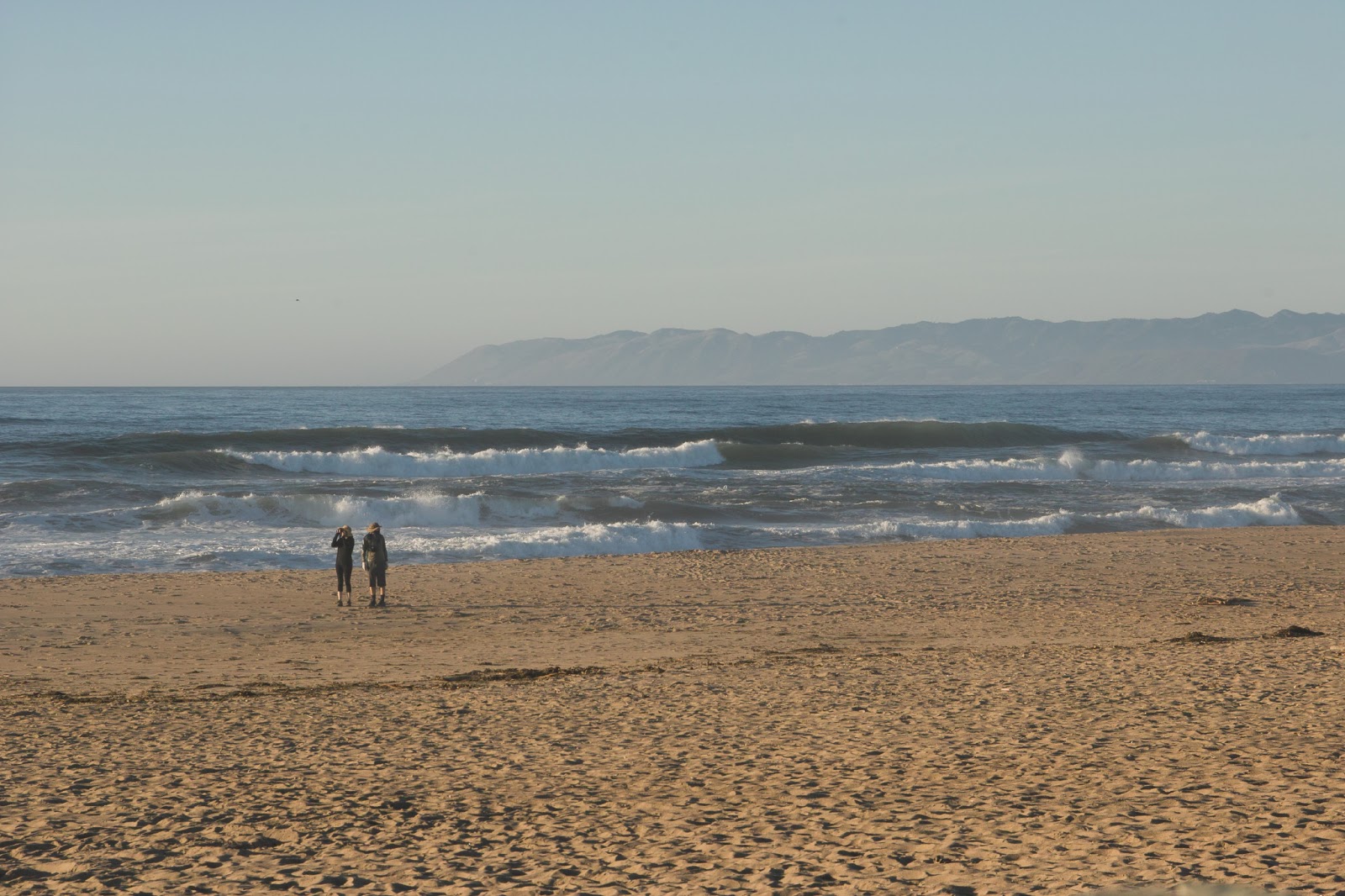
The beaches and ocean surf, and distant mountain vistas were really great from this beach.

After leaving the dunes Oceano, we headed north toward Morro Bay.  Along the coastal highway we stopped and Kathleen captured this sunset shot.